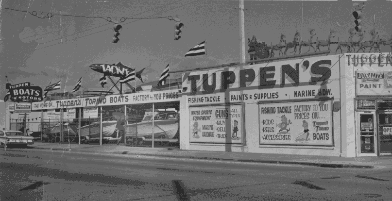
Thanks to Chip Guthrie for allowing me to borrow these to scan. I believe he said that his mother found the negatives at a yard sale years ago. You might want to stop by the Potty Doctor's office on Dixie Hwy. He has one that is not seen there - a large aerial photo looking from the southeast from over the ocean. You can see the golf course and more of pre-war Lake Worth - before the pace of development quickened.
These apparently were taken soon after the radio station antenna went up and were taken for someone in association with the radio station for promotional purposes. As far as Chip can tell, he guesses that these date from the late 30s to early 40s. Old-timers and not-so-old timers will remember the radio station offices which existed just south of the city's beach property. It was torn down within the past ten years or so to make way for the condominium just over the line in Palm Beach.
 |
| It is hard to see with the scan, but right in the center of this photo is the radio antenna. This is the a view of the western coastline, looking north. |
 |
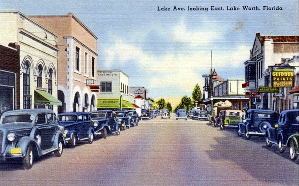
| This is how the barrier island looked before being developed with wall-to-wall condominiums, mostly a post-WWII phenomena. Also notice the lack of an ocean pier. This is also a view from the south. All of the views from this era, one that inspired a postcard, are usually from the north. The pier in the lower, right center of the picture is probably the one in the foreground of the first picture with the antenna. Just a little below center would be the location of the radio station. The Casino building, as it appeared in the 30s without the original tower (lost to the 1928 hurricane) appears in the middle of the picture. |
 |
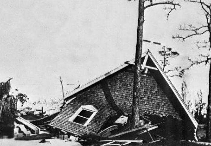
| This is looking from the northeast and at the far right edge of the picture you can see the Gulfstream Hotel. Can anyone identify the one larger building in the lower right quarter of the picture? The Casino building can be seen just north of the old bridge. You can clearly see how A1A used to run along the beach, east of the Casino building. That changed after the 1947 hurricane. The road was moved to the west and the Lake Worth Lagoon was filled in along the west side of the barrier island. The parking lot west of the Casino building is built on fill - as is the area currently west of A1A north of the Lake Worth bridge. |


![Dr. W. H. Cotton’s ode: “Oh, My Lake Worth, Florida!” [circa 1920].](http://1.bp.blogspot.com/-yhHyCn84ZIQ/WezjlEL-0tI/AAAAAAAAPZ4/CzkhriK6zpEJJ3d9Je1495d49gIhnMlxACK4BGAYYCw/s1600/LakeWorthPioneers.JPG)